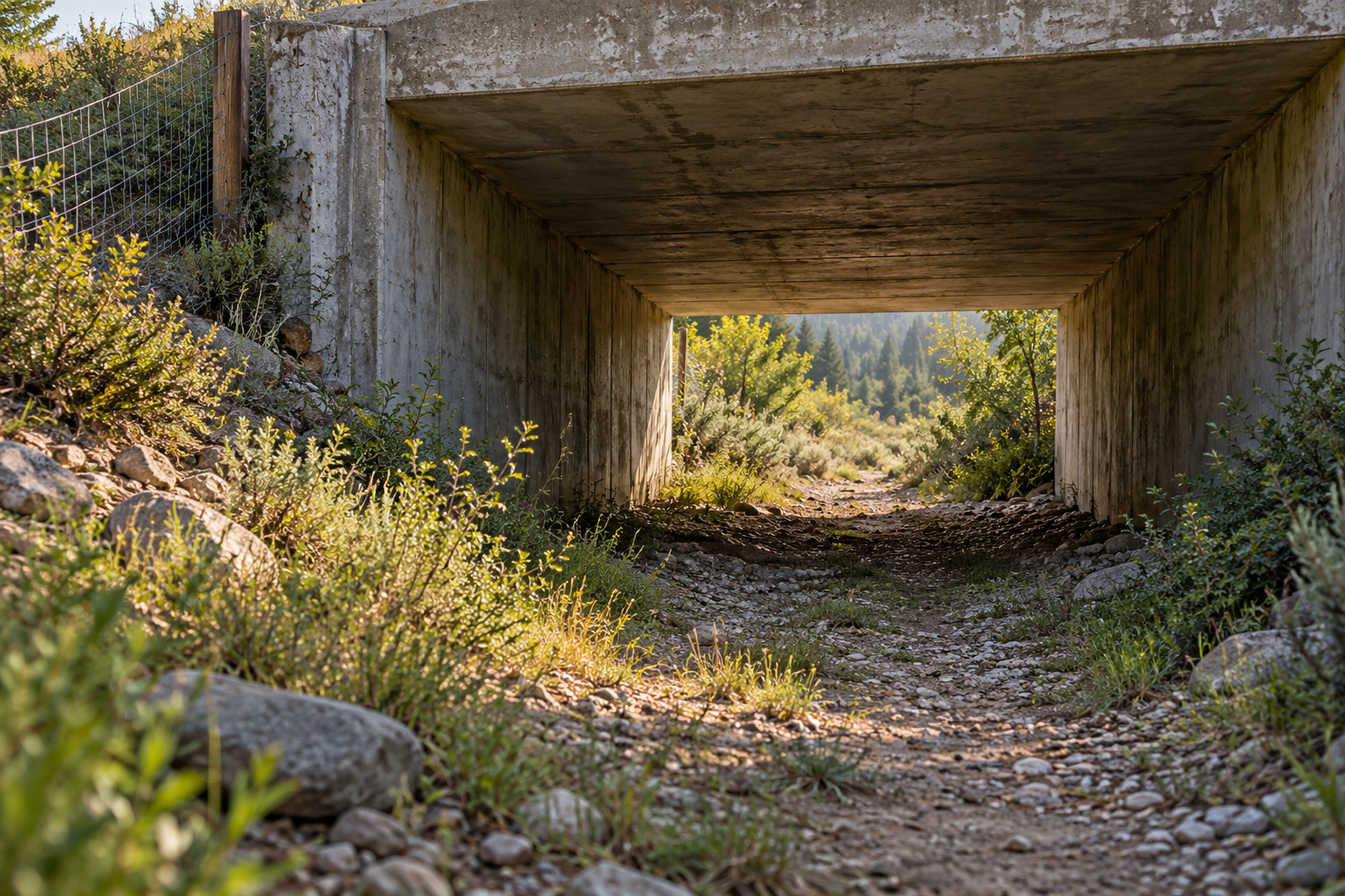
On a habitat map, a wildlife corridor can look like a continuous green ribbon. At ground level, that ribbon may end at a road, a railway, or a short opening in the trees. The narrowest point is often where the map's promise is tested. An animal must find the crossing, be willing to enter it, get through safely and continue toward usable habitat. A structure can exist without completing that sequence.
The question starts with the animal rather than with a universal corridor width. In Calgary, Marie Tremblay and Colleen St. Clair tested forest songbirds at roads, rail lines, bridges and rivers. They played a mobbing call on one side of a feature and then on the other, recording whether responsive birds moved across. Gaps in vegetation were a stronger predictor of movement than the feature's bare width. Once a gap exceeded about 30 metres, responses fell sharply; at 45 metres, birds were only half as likely to cross as to travel the same distance through continuous tree cover. Road traffic also reduced crossing responses.
That is a finding about prompted movement by the birds studied, most of whose recorded groups were black-capped chickadees. It is not a rule that every songbird needs a corridor narrower than 45 metres. What it makes visible is an approach problem. A bridge or strip of open land may connect two woods on a planning map while presenting a break in cover that these birds are reluctant to cross. The vegetation leading to a crossing can matter as much as the opening itself.
Put the opening where travel already converges
At a larger scale, the challenge is to discover where animals move, especially when the route changes with the season. Erin Poor and colleagues compared models of pronghorn migration in Montana using GPS locations from spring and fall. They suggested prioritizing fence changes and road-crossing structures in the most traversable corridor areas used in both seasons. Their 1–5% figure described a ranking of modelled landscape cells, not a physical width to build. It helped identify places where interventions might protect a route repeatedly used.
The distinction between a place animals occupy and a route they take also shaped a study tracking 54 young male elk in the Northern Rockies. The researchers modelled spring and autumn movement phases, then compared corridor predictions with a scenario in which road avoidance was removed. The difference exposed highway stretches likely to interfere with dispersal. That is stronger planning information than a habitat map alone, but it is still a model grounded in a particular group: young male elk. A crossing chosen for them cannot be assumed to serve every species at the same site.
A passage can be used and still be awkwardly placed. Wenjing Xu and colleagues followed Tibetan antelope near the Wubei underpass of the Qinghai–Tibet Railway. Using tracked routes and two models of more direct routes between seasonal habitats, they estimated that travel via the underpass added, on average, about 86 kilometres relative to a modelled optimum under one route calculation. The comparison is to a theoretical route, not a measured before-and-after change caused by building the railway; nor does it prove a measured loss of survival. It does show why counting crossings alone can miss the cost of reaching one.
The same point appears in a connectivity-restoration model by Brad McRae and colleagues. In one simulated landscape, removing a strategically placed highway barrier rerouted the least-cost path and cut its modelled effective distance by 37%. The number is a change inside a model, not a field observation of animals walking 37% less. Its value is in locating a place where a small intervention could matter greatly—and in making the model's land-cover assumptions available for checking before anyone builds there.
A crossing is a system, not an opening
On a busy road, access and safety have to be designed together. Fences can guide animals toward an underpass or overpass and keep them off the carriageway, but gaps, ends and maintenance failures can leave dangerous routes into traffic. A two-site before-and-after study on the Trans-Canada Highway compared fenced sections with unfenced controls. Collisions involving ungulates fell by 96% on one fenced section and 73% on another. Control sections changed too, so neither percentage should become a promise for the next road. The study did not establish the same response for carnivores, whose collisions were fewer and whose interactions with fences differed.
The Federal Highway Administration's wildlife-crossing handbook asks planners to decide what success means before monitoring begins. Is the aim fewer vehicle collisions, more movement across the road, or exchange between populations? Those goals require different evidence. A camera can record a deer using an underpass. It cannot reliably show how many distinct deer crossed, their relationships, or whether young animals dispersed and reproduced on the far side. Collision records need a baseline and a comparison that accounts for other changes. Genetic interchange and population persistence demand longer and more specific observation.
This is why the narrowest point needs attention on both sides. A vegetated approach may let a forest bird reach a gap. A well-sited opening may spare a migrating animal a long detour. Fencing and upkeep may turn access into safe passage. The next stretch must still lead somewhere the animal can live. None of these details can be read from the colour of a corridor on a map. They have to be learned from movement, the local landscape and the outcome the corridor was built to improve.
A thought worth keeping?