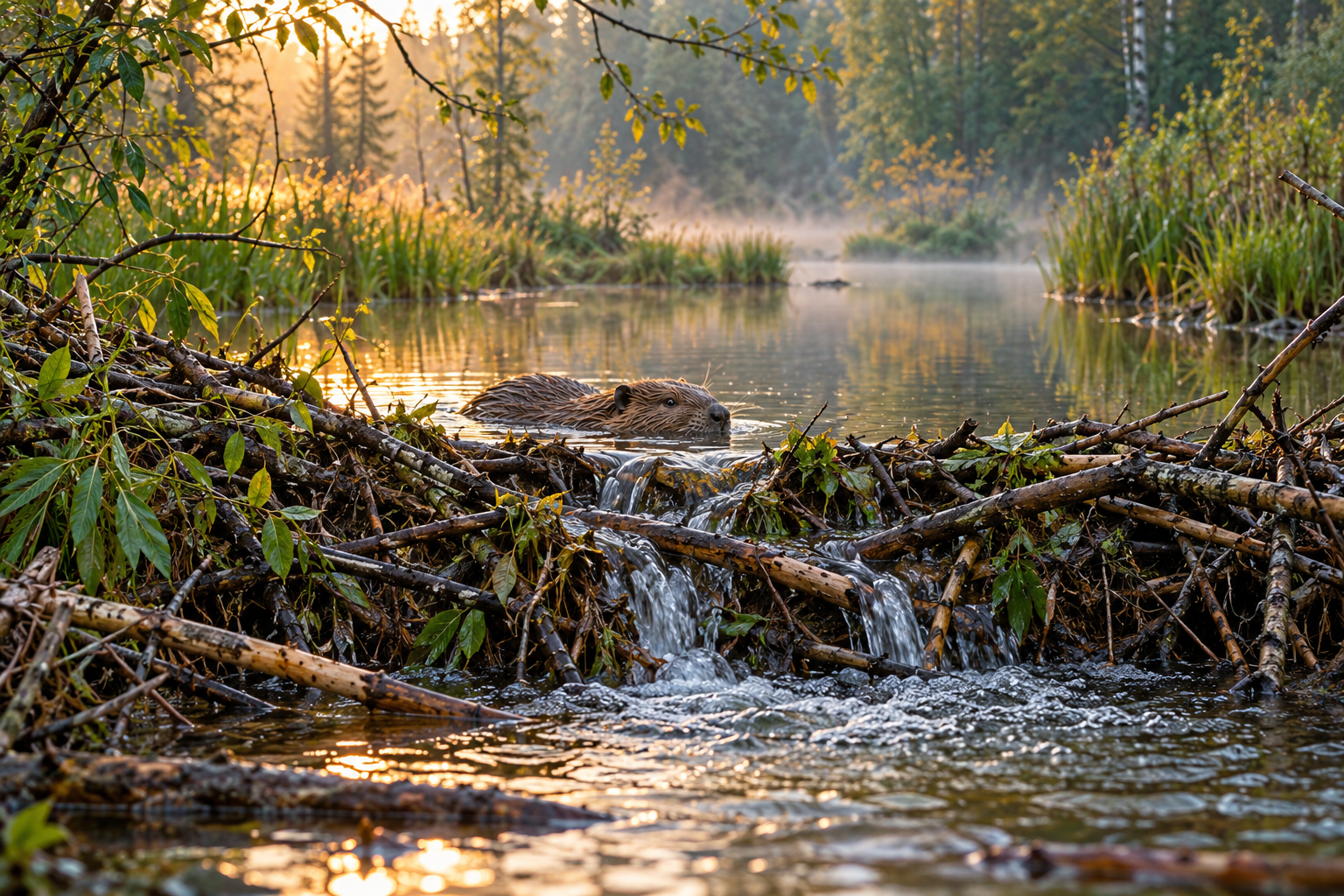
A beaver dam does not merely put water behind a wall. It changes where water travels, how quickly it moves, and how much opportunity it has to interact with soil, sediment, plants, and microbes. That is why asking whether beavers are “good for water” is too blunt a question to guide either science or restoration.
Water can move more slowly through a wetland while carrying a different mixture of dissolved substances. A smaller storm peak at one gauge may coexist with flooding of land beside the stream. A change that benefits one organism may replace the habitat of another. The interesting task is to trace the pathways rather than assign a universal score to the animal.
Several field studies show how much beavers can change river corridors. Read together, they also show why a measured benefit needs a location, a timescale, and a named outcome.
Slowing a storm is a measurable claim
Puttock and colleagues monitored four English sites before and after beaver dam building, analyzing 1,153 rainfall-runoff events. Their multi-site study of flow attenuation found reduced peak-flow responses after accounting for rainfall and an overall reduction in flashiness. The work covered agricultural and forest-dominated catchments and streams of several orders.
This is stronger evidence than a photograph of a pond or a comparison of a single storm. Continuous records allow a question about how catchments respond across events. One site also had a nearby unoccupied control catchment, allowing the researchers to distinguish beaver effects more convincingly from changes shared across the surrounding area.
The design was nevertheless uneven. Release timing and natural colonization were outside the researchers' control, monitoring periods differed, and suitable controls were unavailable at most sites. The largest observed events were large within those records; they did not represent every conceivable flood. The study supports attenuation under monitored conditions, not a guarantee of downstream flood protection.
That distinction is important for public discussion. A reduction in a hydrograph's peak is a real contribution. Translating it into protection for a town requires further information about other tributaries, downstream storage, storm timing, and the assets exposed. An ecological effect does not become less valuable because it is one component of a larger water system.
The hidden route through the floodplain
A second study followed a beaver dam built during 2018 in a meandering reach of Colorado's East River. Water levels rose upstream, increasing the pressure difference driving water through adjacent sediments. The researchers combined field observations with a reactive transport model to examine oxygen and nitrogen transformations. Their Nature Communications paper showed that the dam's effects on those subsurface gradients exceeded the seasonal contrasts they studied.
The result is more subtle than “slower water removes nitrogen.” In this setting the dam could push water through subsurface routes more rapidly, delivering more oxygen and expanding oxygenated zones. Whether a route removed or exported nitrate depended partly on its length and the time available for microbial reactions. Across the modeled distribution of routes, the dam increased total nitrate removal, but individual routes did not all behave alike.
This is a useful reminder that a river is not just the visible ribbon between banks. Some of its processing occurs along routes through the riverbed and floodplain. A dam's effect on those routes may be as consequential as the pond it creates.
The numerical result belongs to an observed mountain reach and a model constrained by its measurements. The model necessarily simplified chemistry and flow. It should inform hypotheses about other river corridors rather than substitute for measurements of their sediments, gradients, and nutrient supply.
Storage is a stock, not a final destination
At a controlled reintroduction site in Devon, another team measured sediment accumulated in thirteen beaver ponds. Their study of sediment and nutrient storage estimated more than one hundred tonnes of sediment in the pond complex after five years of beaver presence, accompanied by carbon and nitrogen. Much of the sediment was estimated to have originated from the upstream agricultural catchment.
These measurements help explain why a downstream water sample might contain less suspended material. They also clarify the next question: how long does the stored material remain, and what happens as dams and channels change?
A sediment inventory measures a stock at a particular time. Permanent removal from a watershed is a stronger claim. The authors themselves discuss remaining storage capacity and the evolving character of the site. A pond can fill; a dam can be rebuilt; water can find another route. Recognizing those processes does not negate storage. It makes its duration and future movement part of the ecological account.
The same caution applies to carbon. Measuring carbon in accumulated material does not, by itself, establish a complete greenhouse-gas balance. That would require a wider accounting of sources, exports, and gaseous exchanges. A compelling number should not be asked to answer a question it was never designed to measure.
A longer record can complicate the story
A thirty-year investigation in a German agricultural catchment tracked wetland rehabilitation and later beaver recolonization. It found substantial hydrological changes but limited long-term improvement in nitrate and total phosphorus concentrations. The authors connected that persistence to legacy nutrient stores in soils, groundwater, and the stream network.
Because restoration and land management changed together, the record is not a clean experiment isolating beavers. Its value is different: it shows what happened in a real catchment with a long environmental history. The water entering a new wetland may carry the consequences of decades of fertilizer use. Altering local pathways cannot be assumed to erase that inheritance promptly.
This comparison also prevents a misleading conflict between studies. The Colorado analysis examined subsurface processes at a mountain meander; the German record examined catchment behavior over decades; the English work measured storm responses. Different outcomes, settings, and scales can all yield valid findings without being interchangeable tests of one slogan.
The sensible conclusion is conditional but substantial. Beavers can reorganize water systems in ways that engineered channels have often suppressed. They can attenuate flow, store sediment, and alter nutrient processing. To understand what those changes mean, keep following the water: into the floodplain, through the sediment, past the gauge, and onward through time. The pond is the beginning of the explanation.
A thought worth keeping?